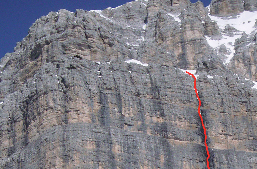
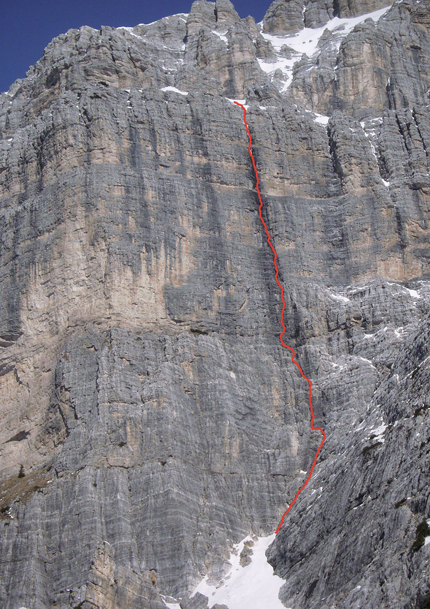
South side – Colatoio Bonetti **
FIRST CLIMBERS:
Paolo e Flavio Bonetti,
Mario Bottecchia,
Maurizio Poli, 1969
FIRST REPETITION:
Renato Bien, Walter Levis,
Augusto Bedont, 1976
• DEVELOPMENT: 300 m
• DIFFICULTY: TD R2; 6°
• ESTIMATED TIME: 4 h
• EQUIPMENT:
Some nails and friends. Slings for tunnels
IDEAL PERIOD:
may-october
Logic itinerary that pass the most marked colander of Pala delle Masenade with a straight line path. The rock is very good and very articulated, and secured points are generally numerous. The ascent, that proposes a good and continuous climb, is not to be underestimated, having some passages “to be understood” and some very verticals traits. Furthermore, keep in mind that the ascent stays wet for a long time after rain episodes and in the spring season is soaked by the fusion waters coming from upper ledges. The path is partially fitted and the colander offers good secured points anyway.
ACCESS
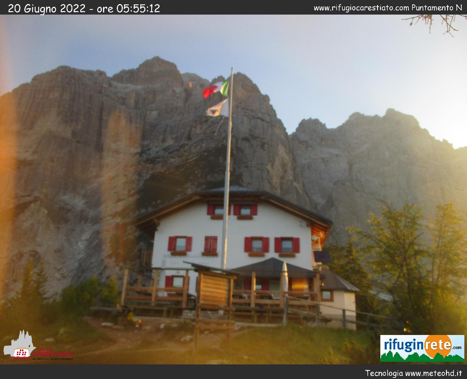
From Rifugio Carestiato, following Alta Via n.1 towards Rifugio Vazzolèr, in a few minutes you will get to the long scree that descents under the wall. Hardly following the scree with his clear track you will easily get to the base of Pala delle Masenade. A great landslide fallen off from a forepart in autumn 2010 is ruinously descented on the scree (please ask for information to Rifugio Carestiato about the possibility of this access). Alternately, ascend along Ferrata Costantini crossing with some difficulty at the base of Pala delle Masenade (0:40 h).
START POINT
At the center of the great rocky amphitheatre of Masenade, that shapes a gray dihedral rightwise sloping. Alternately, crossing the lower ledge of Ferrata Costantini it is possible to get to the base of the colander.
DESCENT
From the large detrital upper ledge it is possible to cross towards right getting to Ferrata Costantini, that rapidly brings back to Rifugio Carestiato (1h). Alternately, with a longer path, you can cross on the ledge towards left and go down along comfortable banks on the rocks of Scalet delle Masenade with a red signs highlighted path (2h to Rifugio Carestiato).


